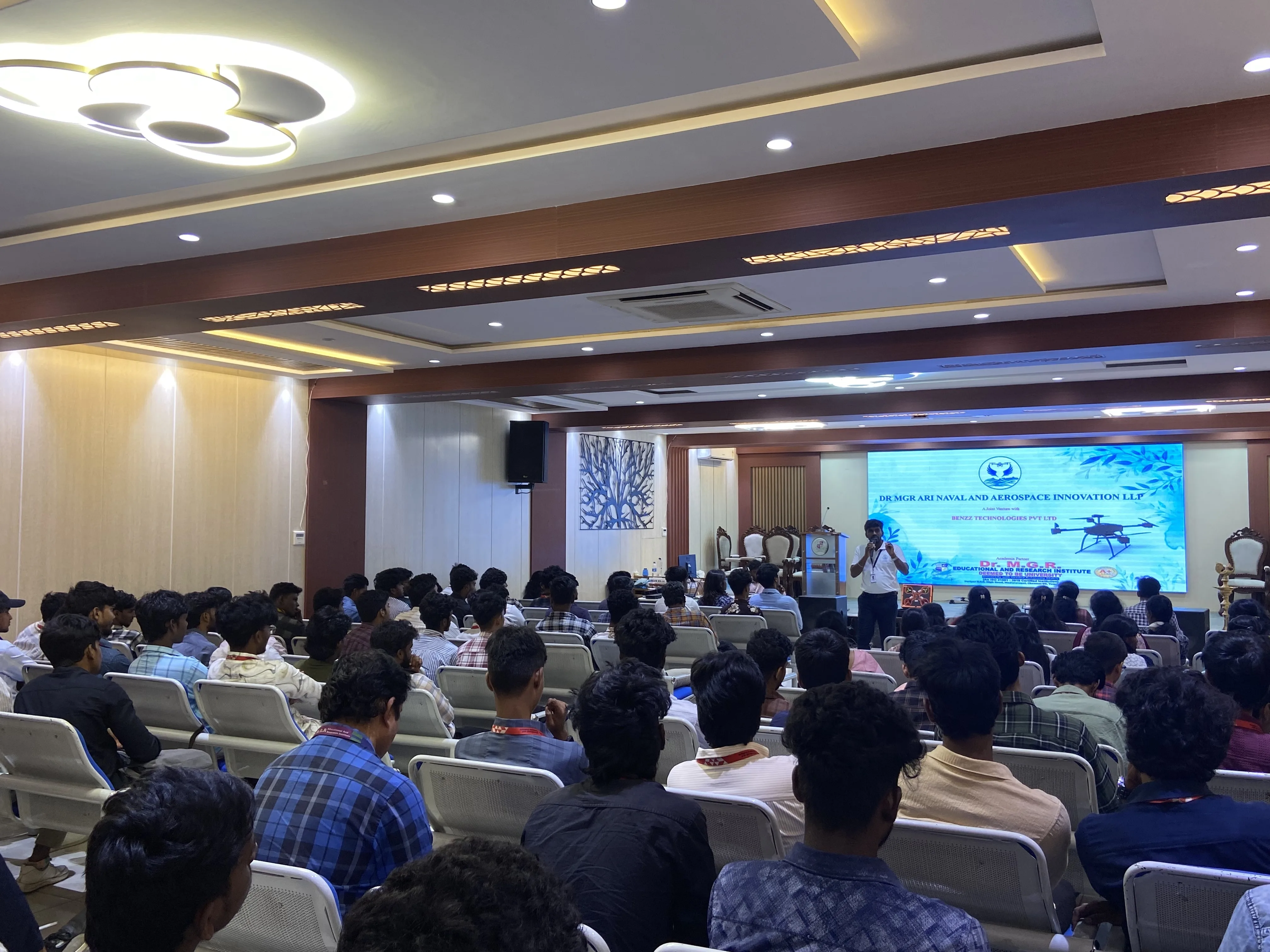
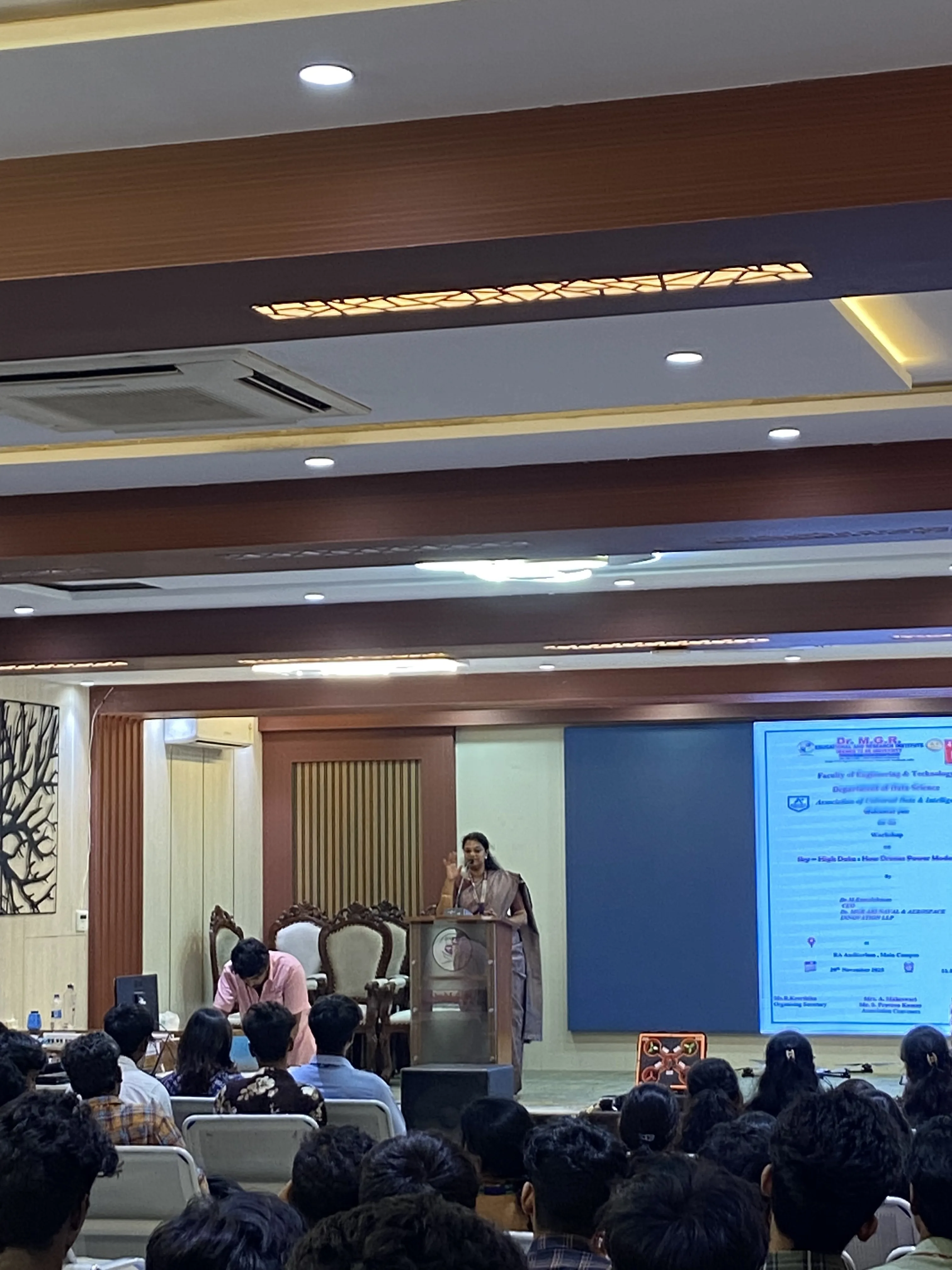
Workshop on “Sky–High Data: How Drones Power Modern Analytics”
The Data Science Department organized a workshop titled “Sky–High Data: How Drones Power Modern Analytics” to introduce students to the role of unmanned aerial vehicles in data-driven applications. The resource team explained how onboard sensors, GPS modules and high‑resolution cameras enable drones to capture large volumes of geospatial and visual data suitable for integration with AI and machine learning models. Use cases spanning precision agriculture, smart city planning, disaster response and environmental monitoring were discussed to illustrate how aerial data supports evidence-based decision-making in modern industries. Students were oriented to safety practices, legal regulations and responsible usage of drone technology. A structured hands-on piloting session enabled participants to operate drones under expert supervision and observe real-time data acquisition. The workshop strengthened students’ conceptual understanding of drone-based data pipelines and enhanced their confidence to pursue projects, internships and research in drone analytics and related domains of data science.
KEY HIGHLIGHTS
Introduction to drone components, payloads, sensors, GPS and high-resolution imaging for data acquisition.
Discussion on drone-enabled applications in agriculture, smart cities, disaster management and environmental monitoring.
Explanation of workflows for integrating aerial data with AI/ML models for analytics and decision support.
Briefing on aviation regulations, no-fly zones, pre- and post-flight safety checks and ethical guidelines.
Live technical demonstrations and supervised hands-on piloting sessions using training drones and controllers.
Active participation of Data Science students, fostering interest in careers and research opportunities in drone analytics and aerospace data applications.